Application and supporting records · PLAN-O
SPIF and adjacent maps
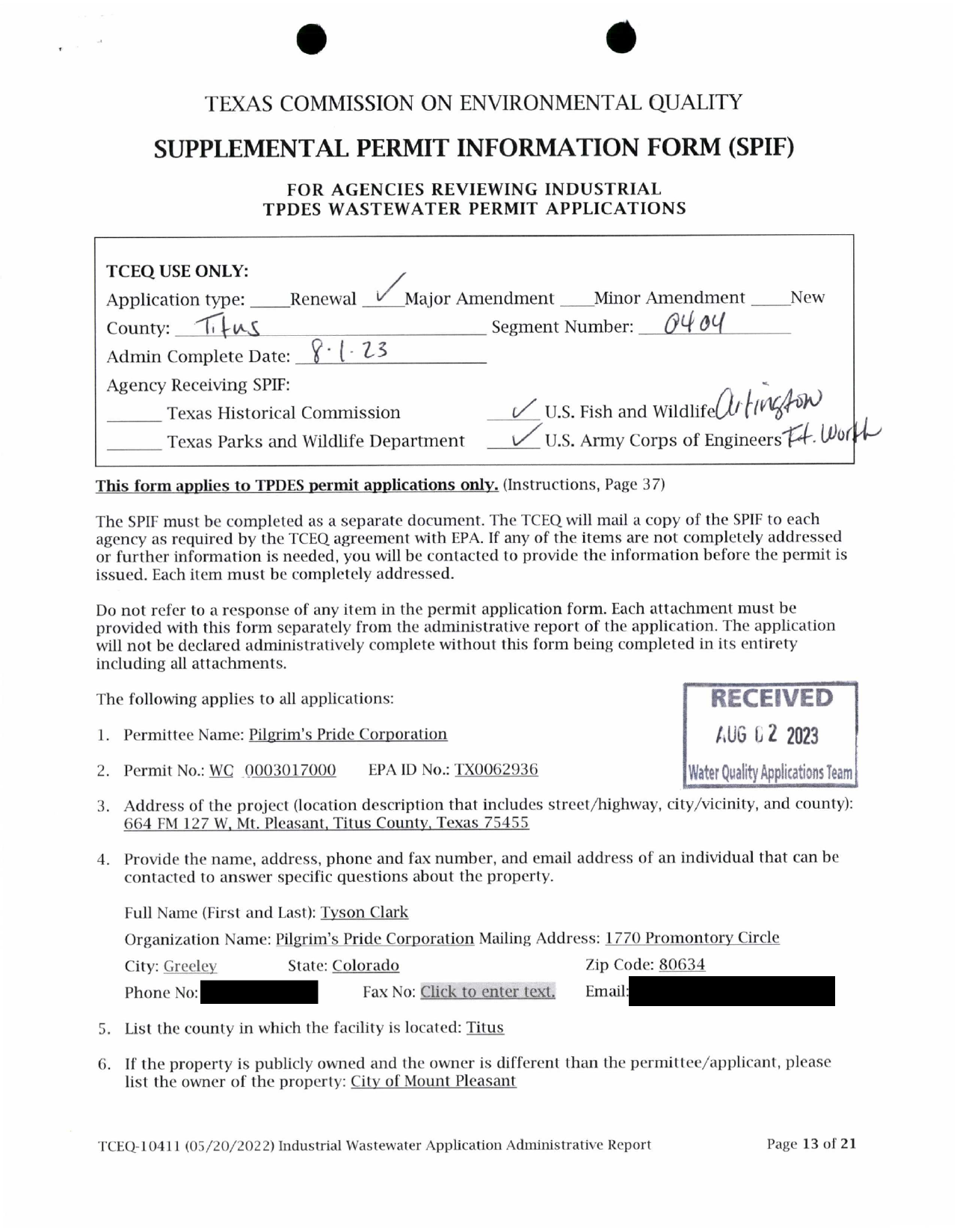
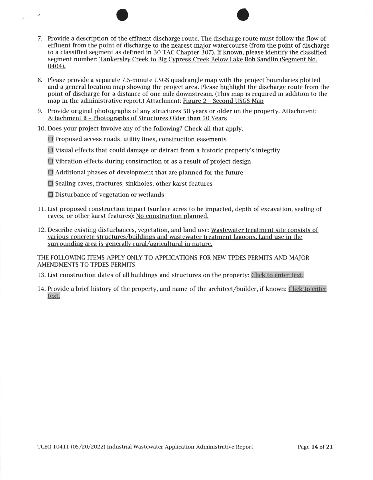
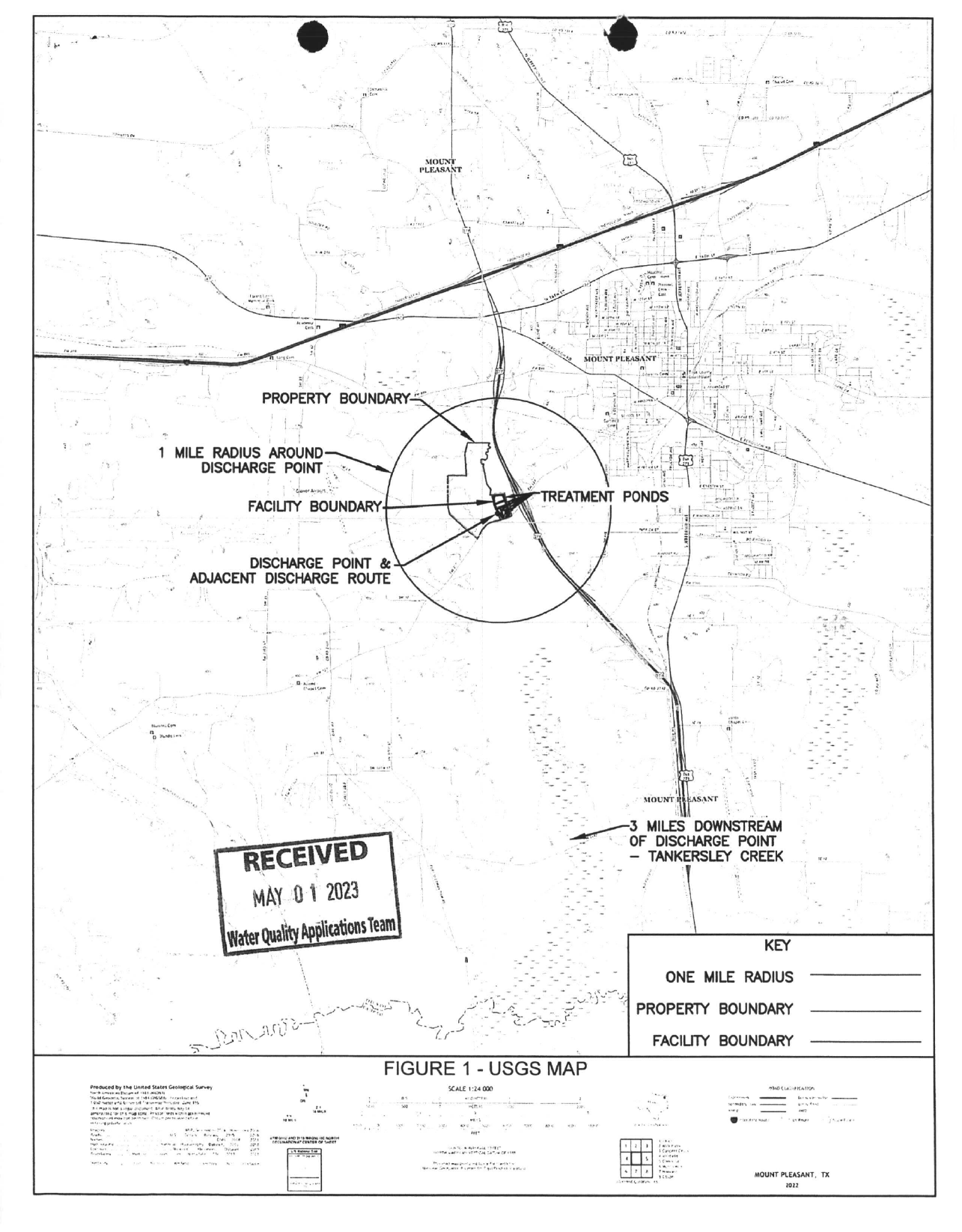
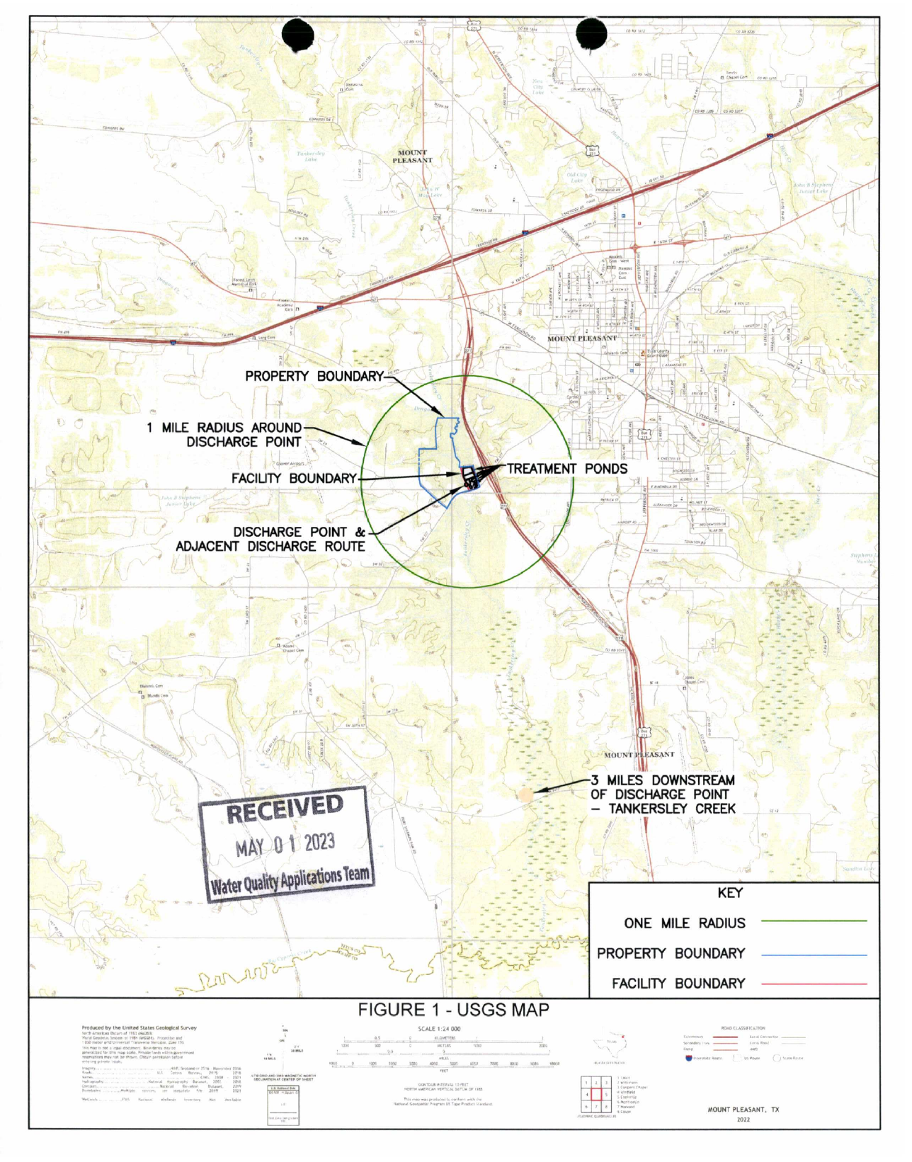
Supplemental permit information form and adjacent maps. Form and map receipt markings, figure references and placeholders remain distinct. Related maps and photographs appear in PLAN-C and PLAN-L; those links do not prove separate submission or distribution.
Source pages 355–358 · 4 source pages · Selected records
About this selection
These pages come from the 688-page TCEQ production for the Southwest wastewater plant. Page labels below identify the original production; selected source images and existing redactions are preserved.
Reading context and source notes
Source pages 355-358 retain the complete two-page SPIF and both adjacent maps. The named contact phone and readable email blackout are masked.
The form bears an August 1, 2023 administrative-complete notation and August 2 receipt stamp. The adjacent maps bear May 1, 2023 stamps. These are document markings, not verified delivery histories.
The form references Figure 2 and Attachment B photographs; both adjoining maps are labeled Figure 1. PLAN-C includes the later Figure 2 map and PLAN-L the captioned Attachment B photographs. These cross-references do not prove separate SPIF submission or agency distribution.
Construction-date and property-history placeholders remain. No-construction and land-use descriptions are applicant statements, not findings of present conditions or historic status.
Jump to a source page
Related records
The application, models, sampling-waiver correspondence, maps and photographs explain what was submitted and reviewed. Compare them with the issued terms and separately dated monitoring records. An application-sampling waiver is not a waiver of routine permit monitoring; models, applicant estimates and source captions do not establish measured performance or current conditions.